Researchers at the University of Florida Institute of Food and Agricultural Sciences (UF/IFAS) have revolutionized the way they assess forest damage caused by hurricanes, thanks to a new technology that combines lasers and artificial intelligence. Dr. Carlos Silva, an assistant professor at UF/IFAS, is leading the research in the Forest Biometrics and Remote Sensing Lab.
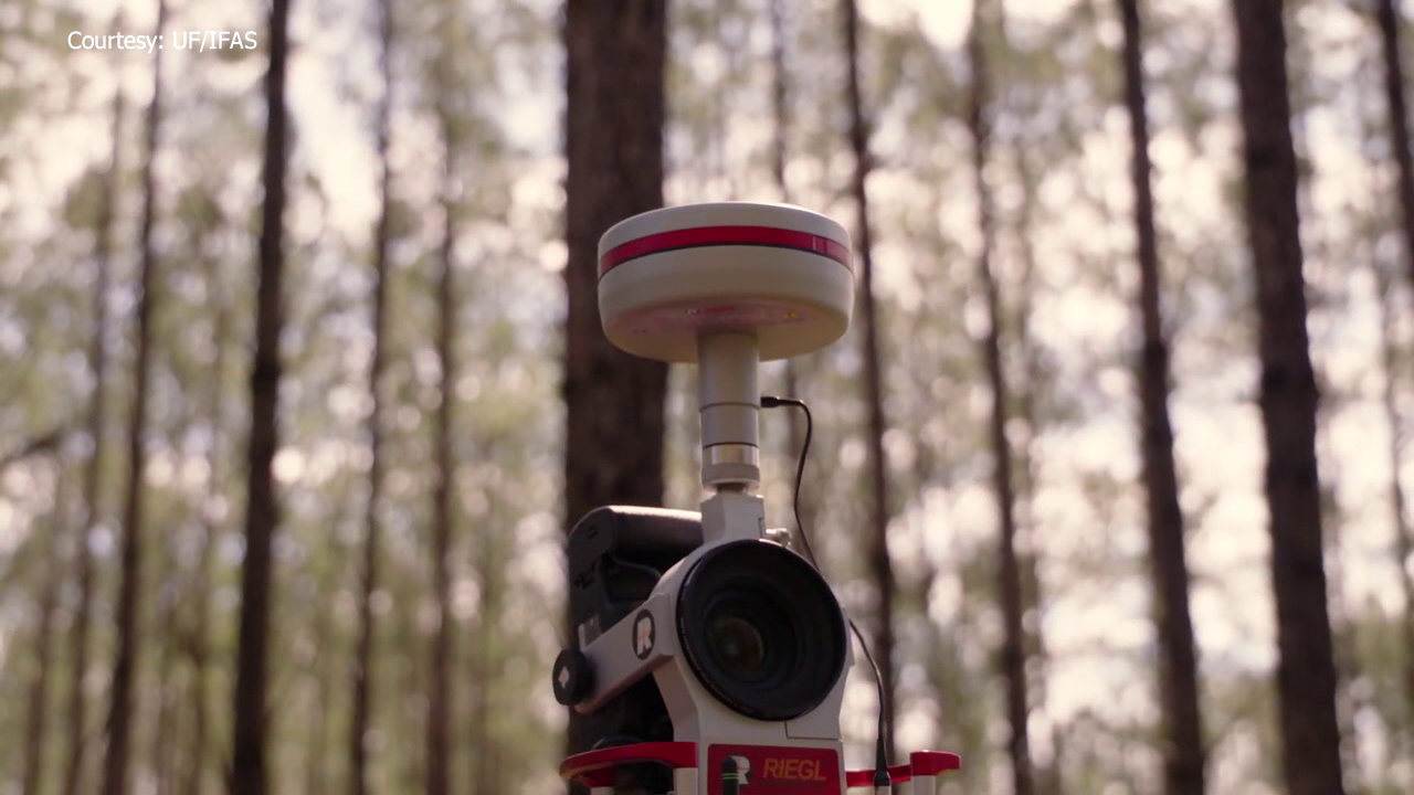
Traditional methods of evaluating hurricane damage involve physically going into forests, setting up plots, and measuring trees, but Silva and his team wanted to find a faster and more efficient way to assess the impact. By utilizing remote-sensing methods such as lidar, which uses pulsed lasers to measure distances, and NASA satellites, Silva’s team collected data to generate three-dimensional maps of forests before and after hurricanes. The information gathered from the ground scanners and satellites was combined and processed using artificial intelligence to create an online mapping platform that shows the impacts of hurricanes on Florida forests.
The platform can be accessed by anyone online and provides valuable information for planning restoration activities, insurance claims, and management decisions following a hurricane. Silva and his team are testing different AI models to improve the accuracy and efficiency of their mapping platform, with the goal of making it a useful tool for future hurricane seasons. The technology developed by UF/IFAS researchers represents a significant advancement in monitoring and evaluating forest damage caused by hurricanes, providing valuable data that can help communities better prepare for and respond to these natural disasters.
Silva explained how this technology will help people make informed decisions about how to restore damaged areas in Florida forests. “Our platform allows us to quickly identify where the most severe damage has occurred within a forest,” he said. “This information can then be used to prioritize restoration efforts so that resources are directed towards areas where they will have the greatest impact.”
NASA has also praised this new technology saying it will greatly benefit disaster response efforts in future seasons. “This innovative approach using remote sensing technology will help us better understand how hurricanes affect forests,” said Dr. Randy McNally with NASA’s Earth Observatory.
Overall, this new technology developed by UF/IFAS researchers is a game-changer in monitoring forest damage caused by hurricanes providing valuable data that can help communities better prepare for these natural disasters.