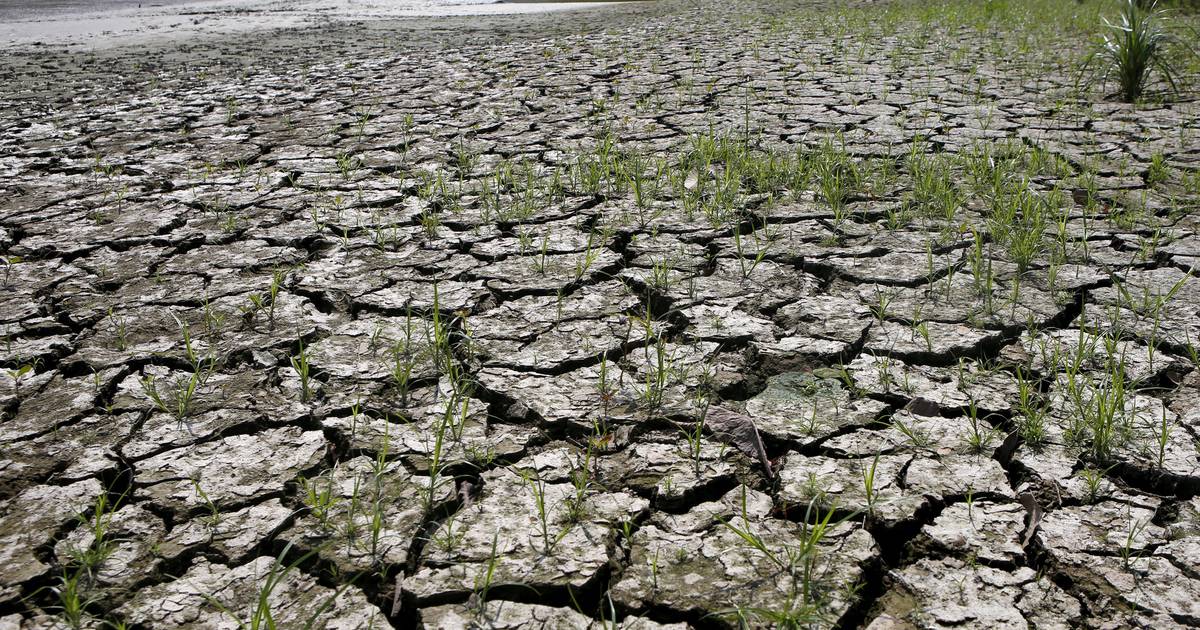
The World Meteorological Organization (WMO) has announced that the El Nino weather pattern, which is associated with extreme conditions such as wildfires and tropical cyclones, is expected to transition into La Nina conditions later this year. El Nino causes disruptions in wind patterns, resulting in warmer ocean surface temperatures in the eastern and central Pacific. In contrast, La Nina brings cooler temperatures to the Pacific Ocean around the equator and is linked to floods and droughts.
The WMO has predicted a 60 percent chance of La Nina occurring between July and September, with a 70 percent chance from August to November. Despite this transition, the WMO emphasized that the end of El Nino does not mean a pause in long-term climate changes caused by greenhouse gases. High sea surface temperatures will continue to play a significant role in the coming months.
According to the WMO, the past nine years have been the warmest on record, even though there was a cooling influence from La Nina from 2020 to early 2023. This highlights how climate change continues to impact our planet despite any temporary weather patterns that may occur. The organization stresses the importance of monitoring and adapting to these changing weather patterns in order to mitigate potential risks and impacts in the future.

:quality(75)/cloudfront-us-east-1.images.arcpublishing.com/elcomercio/JZMGDH5GFBBDPMYRLZLPOGGHOI.jpg)