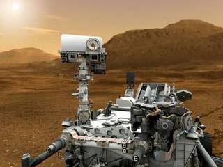
The autonomous navigation system has proven to be effective, allowing the rover to venture into previously unexplored areas. Today, the visibility ahead is clear enough for a planned drive of over 100 meters, with the last 45 meters utilizing AutoNav. However, such long drives leave little time for targeted scientific observations, only allowing a few minutes today. This trade-off between observations and driving distance was expected once AutoNav was confirmed to be functioning on the B computer, but the decision is still difficult.
Some scientists are eager to spend more time studying intriguing features along the way to Aeolis Mons (“Mt. Sharp”), but Gale crater was chosen as the landing site for the Mars Science Laboratory mission specifically to investigate the geologic history preserved in the layers of Aeolis Mons. The main scientific objective is to reach the base of the mountain with minimal delays.


